TL;DR: No. There is no credible evidence of this, and yet the internet keeps confidently claiming there was.
Wikipedia says there was. Repeatedly. Let’s chase every citation down and see what is going on here.
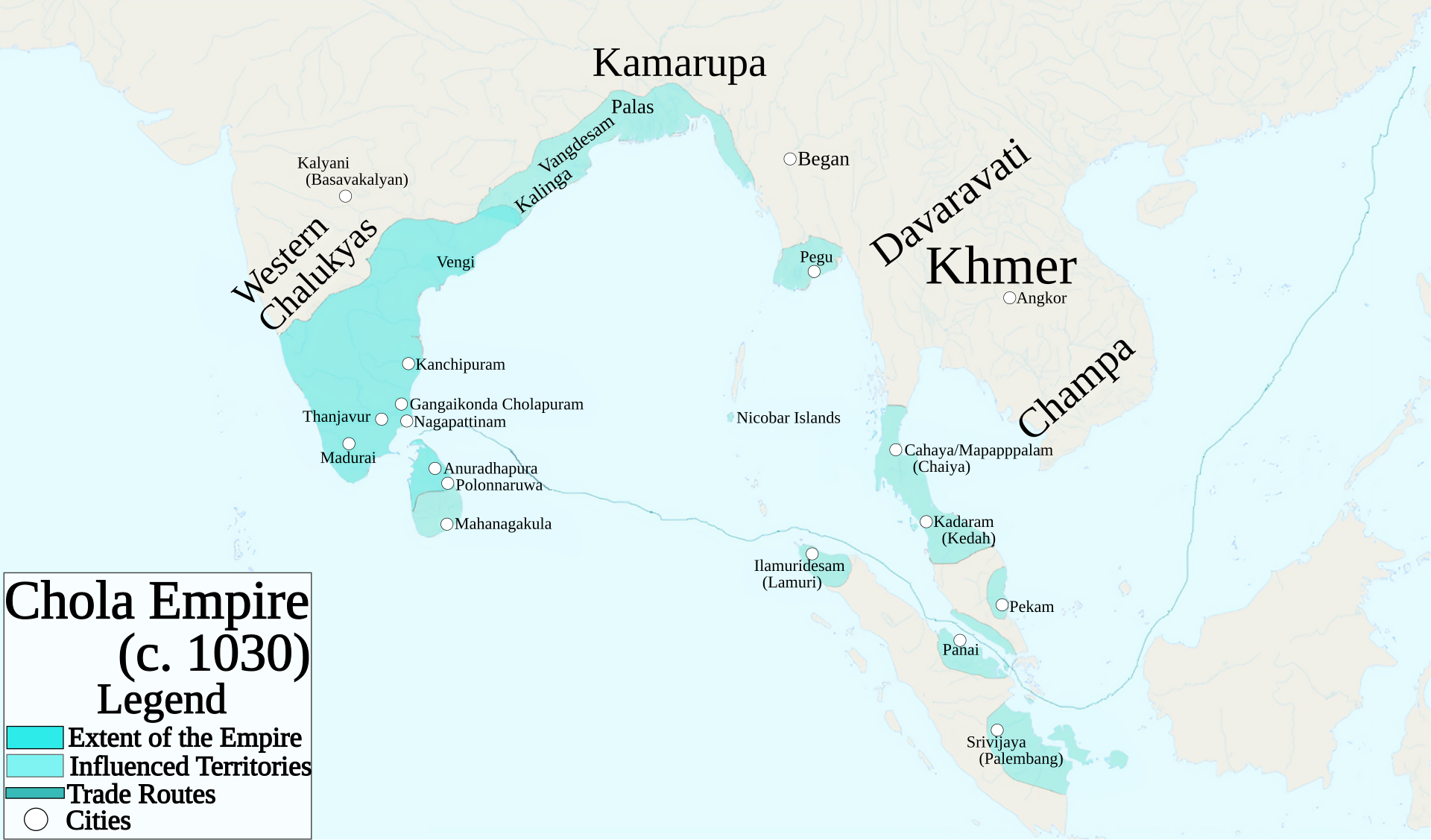
(Source Map of the Chola Empire at around its peak. Note the blue dot on the Nicobar Islands. I don’t doubt by the way, that the Chola exerted some form of control over Nicobar, perhaps even landing there or harvesting resources from there, or perhaps even doing something there. Though none that has really been established. But anyway this article is about examining the most expansive possible version of this claim, that they actually had a naval base on the island)
Article 1: “History of the Andaman and Nicobar Islands”
This article states:
“Rajendra I, used the Andaman and Nicobar Islands as a strategic naval base to launch an expedition against the Sriwijaya Empire (Indonesia). The Cholas called the island Ma-Nakkavaram (“great open/naked land”), found in the Thanjavur inscription of 1050 AD. European traveller Marco Polo (12th–13th century) also referred to this island as ‘Necuverann’ and a corrupted form of the Tamil name Nakkavaram would have led to the modern name Nicobar during the British colonial period.”
But I’m pretty sure it is essentially a fabrication.
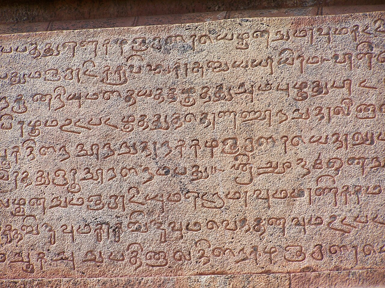
(Source Inscriptions at the Brihadisvara Temple. Inscriptions like these are one of the main actual real sources briefly mentioning Nicobar, which get laundered into the naval base claim)
Continue reading


.svg)
